
BILD NO
Geo Radar
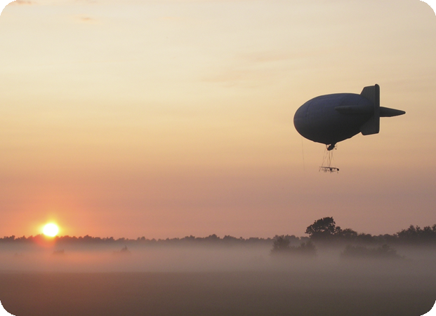
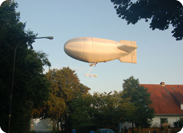
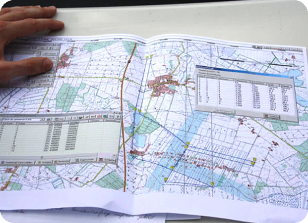
For the first time worldwide the German "Federal Institute for Geosciences and Natural Resources" used an airship for aerophysical measurements by examination of the subsurface with equipment on board of the airship. The aim was to explore and documentate the peat deposit in Northern Germany. On the basis of the recieved data they got information of the structure of the subsurface that is compareable with an ultrasonic image.
Until now airplanes or helicopters have been used for this task. The benefit of the new method: Georadar measurements by use of airships deliver much higher quality of data because of the slow flying speed and their low flying altitude.
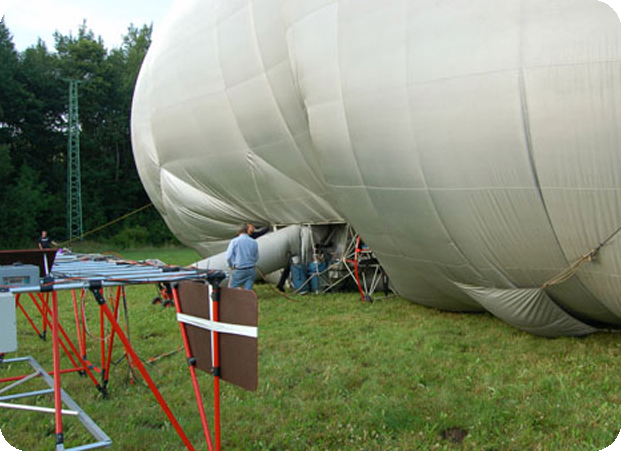
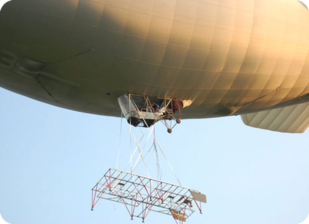
The radar antennas are fixed on a rack with a size of 2,5 x 5,0 x 1,30 meters which is attached under the airship. From there electromagnetic impulses are send to the ground to recieve geological data of the subsurface.
On top of that the operation of an hotair airship is economically interesting as well. Opposite to a helicopter, hotair airships are transported cheaply to their place of operation on a car and trailer. It takes only 30 minutes to get the airship airborne. The only disadvantage is their dependability on suitable weather conditions.
The aim of the BGR is to investigate geophysical underground processes, to visualise and documentate them and to support the sustainable utilisation of geophysical ressources like land and water.
Short version, the complete report by D. Norbert Blindow (BGR) is shown here: